
In short: Koh Samui is a roughly round island with a ring road of about 51 km. The east coast holds the two busiest beaches, Chaweng and Lamai. The north coast (Choeng Mon, Big Buddha Beach, Bophut, Maenam) is calmer and good for families. The west coast round Nathon and Lipa Noi has the ports and the sunsets, and the south coast is the quietest part of the island.
Updated 19 November 2026 by Samui Tourism Guide editors
This page used to hold the old site’s island map. It is now a full guide to the Koh Samui map: what each beach and area is like, how they connect and which one suits which kind of trip. Samui covers 228.7 km², and its highest point, Khao Pom, rises to 635 metres in the centre, says Wikipedia. The interior is mostly hills, forest and coconut groves. Nearly all hotels, restaurants and shops sit on the coast.
Some definitions help when you read hotel listings. Hat (or Haad) means beach, ao means bay and ban means village, so Hat Chaweng is Chaweng Beach. Many places have more than one spelling: Bophut, Bo Phut and Bophud are the same village, and Maenam is also written Mae Nam.
Chaweng: the biggest and busiest beach
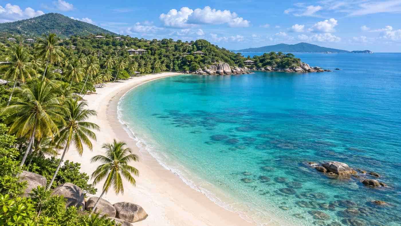
Chaweng, on the east coast, is the island’s longest and most developed beach. Wikipedia notes that Samui’s tourist development began here in the late 1970s and 1980s. Today it mixes luxury resorts, budget guesthouses, shopping streets, restaurants and the island’s busiest nightlife, according to Wikivoyage. The sand is fine and white, and the sea is good for swimming for much of the year.
Choose Chaweng if you want everything within walking distance and do not mind crowds or noise. It is also a short drive from the airport, which is about 2 km to the north. Families and light sleepers often prefer the northern end, which is quieter than the central strip.
Lamai: the second beach
Lamai lies south of Chaweng and is Samui’s second-largest resort beach. Wikivoyage describes it as less crowded than Chaweng but still with plenty of bars and restaurants. At its southern end are the Hin Ta and Hin Yai rocks, one of the island’s best-known sights, which we cover in our guide to Koh Samui attractions. Lamai suits travellers who want a lively base at slightly lower prices than Chaweng.
The north coast: Choeng Mon, Big Buddha Beach, Bophut and Maenam
Choeng Mon is a quiet bay in the north-east corner, about 10 minutes from Chaweng, which Wikivoyage describes as family-friendly. Bang Rak, known as Big Buddha Beach, is named after the 12-metre statue at Wat Phra Yai on the islet just offshore. Its pier has boats to Koh Phangan, and it is the closest beach to the airport.
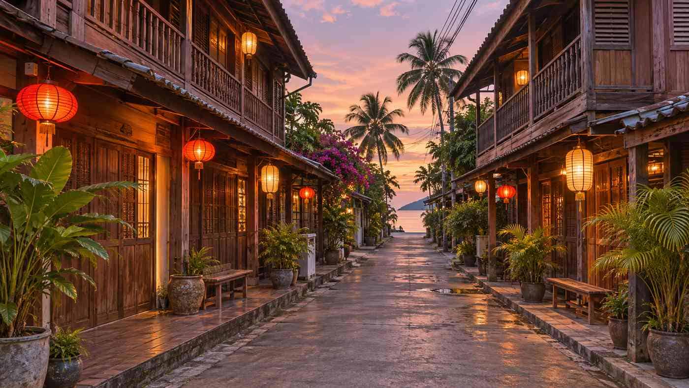
Bophut is home to Fisherman’s Village, a strip of old Chinese wooden shophouses now filled with restaurants and small hotels. The Tourism Authority of Thailand singles it out for its old-world character. Wikipedia lists Fisherman’s Village as one of the island’s main night markets. Maenam, further west, has a long, quiet beach with shallow water, and Wikivoyage recommends it for families. The Lomprayah catamarans to Koh Tao and Chumphon leave from Maenam’s pier.
The north coast faces Koh Phangan across a narrow channel. The water here is often calmer than on the east coast, especially from May to September.
Nathon and the west coast
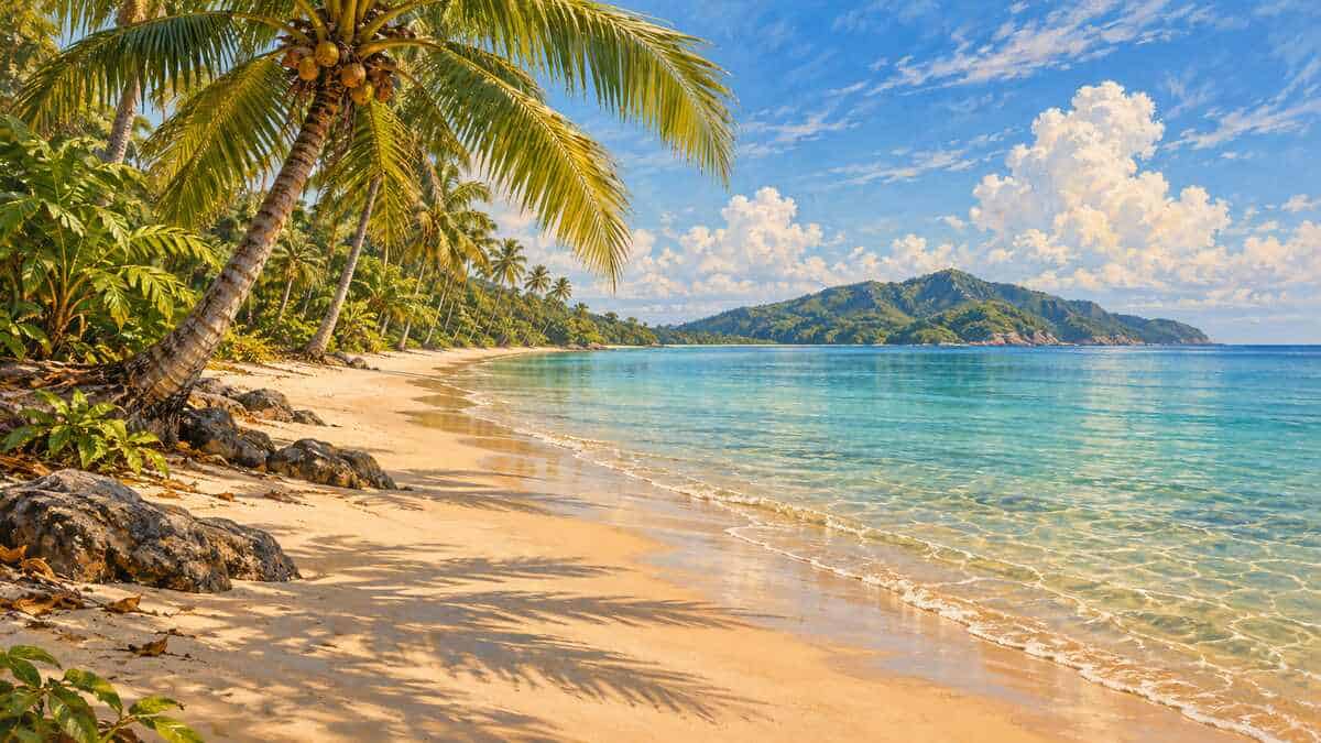
Nathon is Samui’s original capital and main port, on the west coast. It is a working town with government offices, shops, a fresh market and the Seatran ferry pier. Few visitors stay here, but it is the best place on the island to see everyday local life. A few kilometres south, Lipa Noi has the Raja Ferry pier and a long, quiet beach with shallow water.
Further south, Taling Ngam is a small area with some secluded resorts. TAT lists Taling Ngam among the island’s highlight beaches. The west coast faces the Ang Thong archipelago, so it gets the best sunsets on Samui. Read about day trips to the islands in our Ang Thong National Marine Park guide.
The south coast
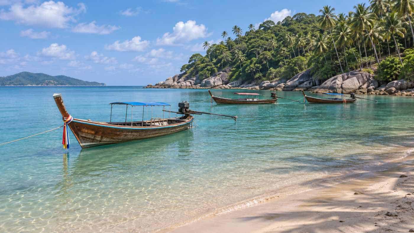
The south coast, from Hua Thanon to Thong Krut, is the least developed part of the island. Hua Thanon is a Muslim fishing village. Wikivoyage lists Na Khai, Laem Set, Bang Kao and Thong Krut among the small south-coast beaches. This is the place for quiet stays rather than beach bars. Wikivoyage notes that Samui has a strong tide cycle, and some beaches become very narrow at high tide.
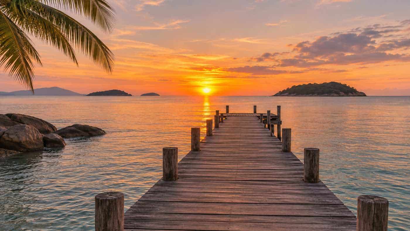
Bophut’s Fisherman’s Village
On the north coast, the old seafront of Bophut is the one part of Samui where pre-tourism buildings survive in a row: a lane of wooden Chinese-Thai shophouses beside Bophut Beach, now restaurants, cafés and small hotels. Every Friday from about 17:00 to 23:00 the beach road closes for the Walking Street night market. It is about 15 minutes by road from the airport. Our Fisherman’s Village guide has more.
The hilly interior
Few people stay inland, but the centre of the island is worth a day. Roads climb from the coast into coconut groves and forest, past the Na Muang and Hin Lad waterfalls, to viewpoints below Khao Pom. The Secret Buddha Garden, a hillside sculpture garden begun in 1976 by a local man, Nim Thongsuk, sits high on the slopes of Pom mountain, according to Wikipedia. The steep tracks there are best tackled in a four-wheel-drive car or on a guided tour rather than on a rented scooter.
Which area is best for your trip?
| Area | Character | Good for |
|---|---|---|
| Chaweng | Busy, long white beach, most hotels and nightlife | First visits, groups, nightlife |
| Lamai | Lively but smaller and cheaper | Mid-range stays |
| Bophut | Fisherman’s Village, restaurants | Couples, food lovers |
| Maenam | Long, quiet, shallow beach | Families, long stays |
| Choeng Mon | Small, quiet bay near Chaweng | Families, relaxing |
| West and south coasts | Quiet, sunsets, local villages | Peace and privacy |
Getting round the island
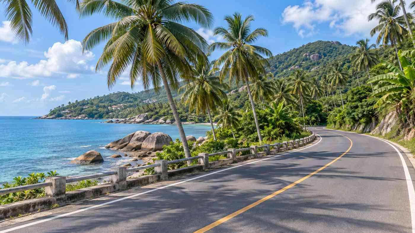
The ring road, about 51 km long, joins every coastal area, and Wikivoyage says you can drive round the island in a couple of hours. Songthaews run fixed routes along the main road by day. Taxis, Grab and rental cars or motorbikes cover the rest. Roads into the hills are steep and narrow, so take care. Our guide to getting to Koh Samui covers transport in more detail.
Key takeaways
- Chaweng and Lamai on the east coast are the busiest beaches and have the most hotels.
- The north coast (Choeng Mon, Big Buddha Beach, Bophut, Maenam) is calmer and good for families.
- Nathon on the west coast is the original capital and main port.
- The west coast gets the sunsets. The south coast is the quietest.
- A 51 km ring road links everything, so no beach is more than about an hour from another.
Common questions
Where are the waterfalls on Koh Samui?
In the hilly interior. The best known, the Na Muang falls, are off the ring road between Nathon and Lamai. Na Muang 1 is a short walk from the car park and Na Muang 2 a steep 30-minute climb. See our Na Muang Waterfall guide.
Which is the best area to stay on Koh Samui?
It depends on your trip. Chaweng is best for convenience and nightlife, Bophut and Choeng Mon for couples, Maenam for families and the west and south coasts for quiet.
Is Chaweng or Lamai better?
Chaweng is bigger, busier and closer to the airport. Lamai is smaller, a little cheaper and calmer while still having bars and restaurants.
Which Koh Samui beach is best for families?
Maenam and Choeng Mon are the usual family choices because their beaches are quieter, and Maenam’s water is shallow.
How big is Koh Samui?
Samui covers about 228.7 km². It is around 25 km long and 21 km wide, with a ring road of about 51 km.
Where is the main town on Koh Samui?
Nathon, on the west coast, is the original capital and main port. It has the Seatran ferry pier, government offices and a fresh market.
How we put this together: geography comes from Wikipedia, beach descriptions from Wikivoyage and the Tourism Authority of Thailand, and pier details from the Samui airport entry on Wikipedia and Lomprayah, all read in November 2026. We do not take payment from hotels and do not list prices, which change by season.